There are currently no listings available under this section. Try searching below or check out some of our other listings.
Other Listings
Here are some other listings to check out:

Lowland Cove Loop – Meat Cove
Length: 16 km (10 mi) returnHiking Time: 5+hrType of Trail: natural surface, compacted earthUses (no snow): walking, biking, horseback riding, ATVsUses (snow): cross-country skiing, snowmobiling, snowshoeingFacilities: camping, tables, water, outhouses (at trailhead only)Dog Use: off-leash permittedGov't Topo Map: 11N02 (Cape…
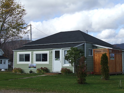
Harbour View Vacation Rentals
Enjoy the harbour and mountain views from this cozy 2-bedroom cottage. It's equipped with queen, double and twin beds, a 3-piece bathroom (shower), a full kitchen, cable TV, Wi-Fi, electric heat, and a BBQ. We offer free use of bicycles…
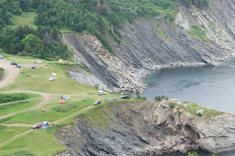
Meat Cove Campground
Meat Cove, the most northern tip of Cape Breton Island, is surrounded by jagged cliffs, valleys of connected mountains where bald eagles soar above. Here, you will find yourself surrounded by magnificent views from all of our 30 unserviced campsites…
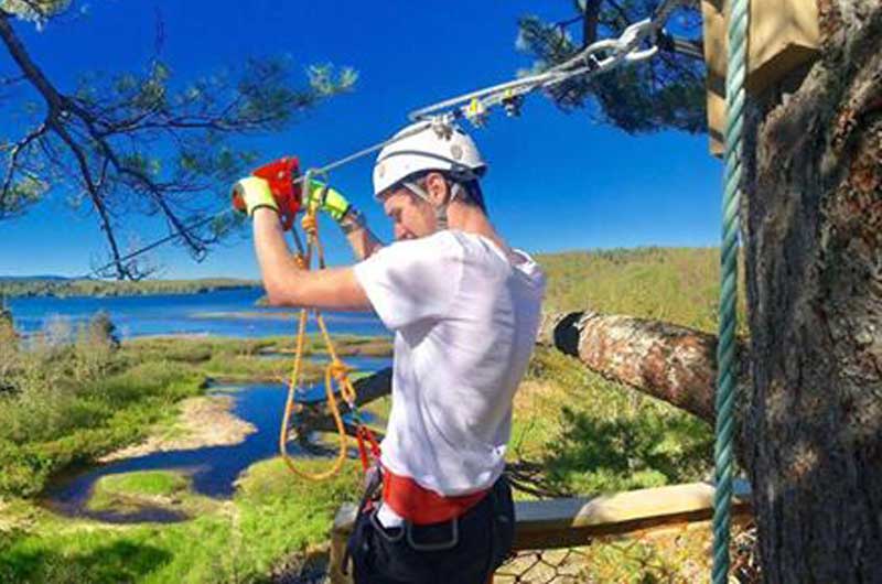
Ziplining Experience
Treetop ziplining, stand-up paddle boarding and a rock climbing wall are all designed to thrill and invigorate. Throw in some experiential dining and you'll see why Mountain Pine Adventures is known for offering unique perspectives and unparalleled experiences. For those…
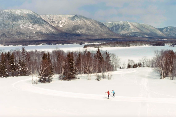
North Highlands Nordic Cross-Country Ski Facility
North Highlands Nordic, situated on the Cabot Trail near the northern tip of Cape Breton, is a premier winter destination for cross country ski and snow shoe enthusiasts. A network of approximately 12 kms of trails is mechanically groomed on…
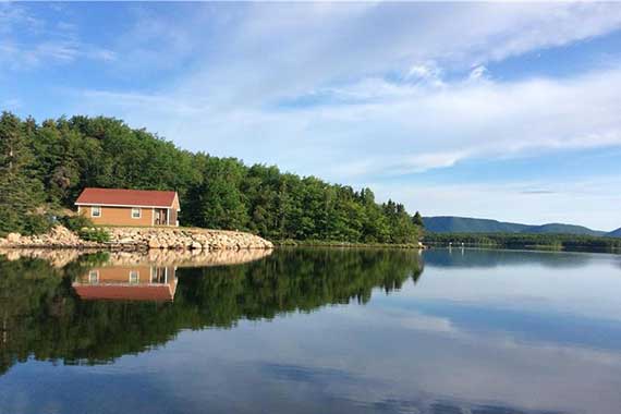
Beach View Cottage
Welcome to Beach View Cottage, located on the South Harbour waterfront on the Northern tip of Cape Breton Island. Here you will find pristine beauty, privacy and a relaxing atmosphere in our spacious, cozy cottage. While staying with us, enjoy…
